A benchmark for 3D Reconstruction from Aerial Imagery in an Urban Environment
14th December 2020
Abstract
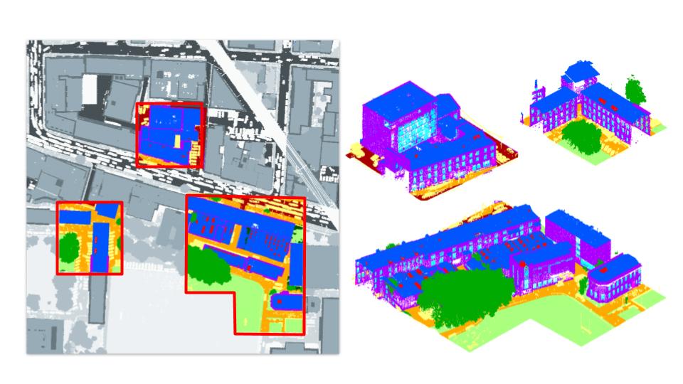
This paper presents a novel benchmark to evaluate 3D reconstruction methods using aerial images in a large- scale urban scenario. In particular, it presents an evaluation of open-source state-of-the-art pipelines for image-based 3D reconstruction including, for the first time, an analysis per urban object category. Therefore, the standard evaluation presented in generalist image-based reconstruction benchmarks is extended and adapted to the city. Furthermore, our benchmark uses the densest annotated LiDAR point cloud available at city scale as ground truth and the imagery captured alongside. Additionally, an online evaluation server will be made available to the community.
Benchmark
Access the benchmark here.
Video
Publication
S. Ruano and A. Smolic
A benchmark for 3D Reconstruction from Aerial Imagery in an Urban Environment
International Conference on Computer Vision Theory and Applications (VISAPP), 2021


